Note
Click here to download the full example code
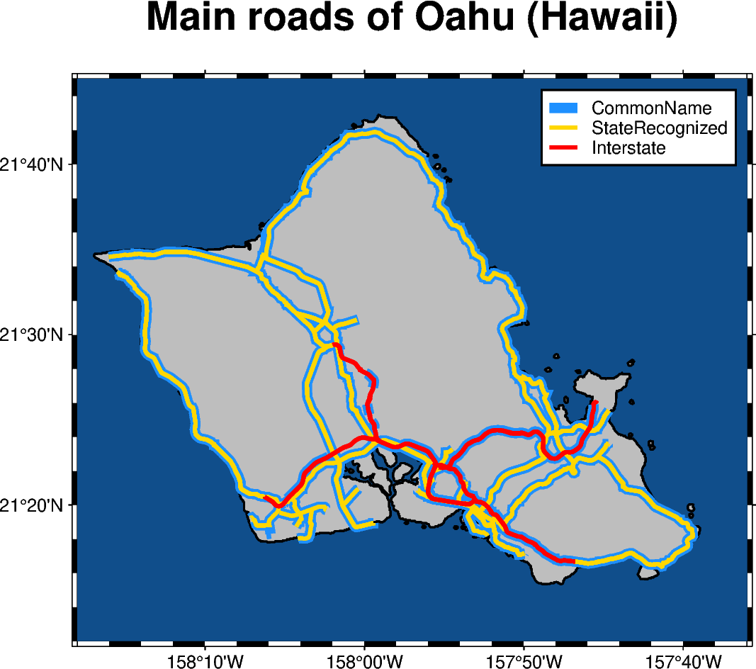
Roads
The pygmt.Figure.plot method allows to plot geographical data which is
stored in a geopandas.GeoDataFrame object.

Out:
<IPython.core.display.Image object>
import geopandas as gpd
import pygmt

# Read shapefile data using geopandas
gdf = gpd.read_file(
    "http://www2.census.gov/geo/tiger/TIGER2015/PRISECROADS/tl_2015_15_prisecroads.zip"
)
# The dataset contains different road types listed in the RTTYP column,
# here we select the following ones to plot:
roads_common = gdf[gdf.RTTYP == "M"]  # Common name roads
roads_state = gdf[gdf.RTTYP == "S"]  # State recognized roads
roads_interstate = gdf[gdf.RTTYP == "I"]  # Interstate roads

fig = pygmt.Figure()

# Define target region around O'ahu (Hawai'i)
region = [-158.3, -157.6, 21.2, 21.75]  # minx, maxx, miny, maxy

fig.basemap(
    region=region,
    projection="M12c",
    frame=["af", 'WSne+t"Main roads of Oahu (Hawaii)"'],
)
fig.coast(land="gray", water="dodgerblue4", shorelines="1p,black")

# Plot the individual road types with different pen settings and assgin labels
# which are displayed in the legend
fig.plot(data=roads_common, pen="5p,dodgerblue", label="CommonName")
fig.plot(data=roads_state, pen="2p,gold", label="StateRecognized")
fig.plot(data=roads_interstate, pen="2p,red", label="Interstate")

# Add legend
fig.legend()

fig.show()
Total running time of the script: ( 0 minutes 5.513 seconds)